Central Ohio Greenways Wayfinding Strategy Guide
Central Ohio
WHY
To accommodate the massive population growth expected in Central Ohio through 2050, the Central Ohio Greenways (COG) Board has committed to adding more than 500 miles of trails to its network. The Board has invested in professionally designed wayfinding signs and brand standards, but recognized a need to go further with its wayfinding strategy as it welcomes an influx of newcomers to the trails.
HOW
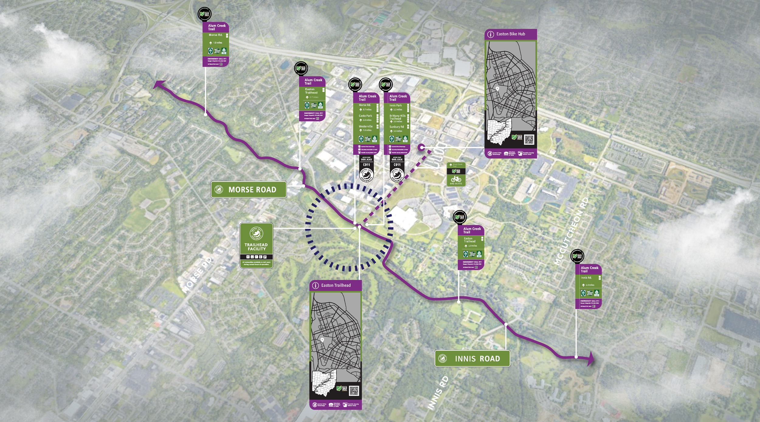
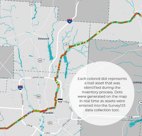
The COG Board selected for this project a segment of the Ohio to Erie Trail that runs through Madison County, Franklin County, Delaware County, and Knox County in Central Ohio. The intention is that the wayfinding strategy developed for this trail segment will be employed throughout the COG network and serve as a model for regional trail wayfinding across Ohio.
WHAT
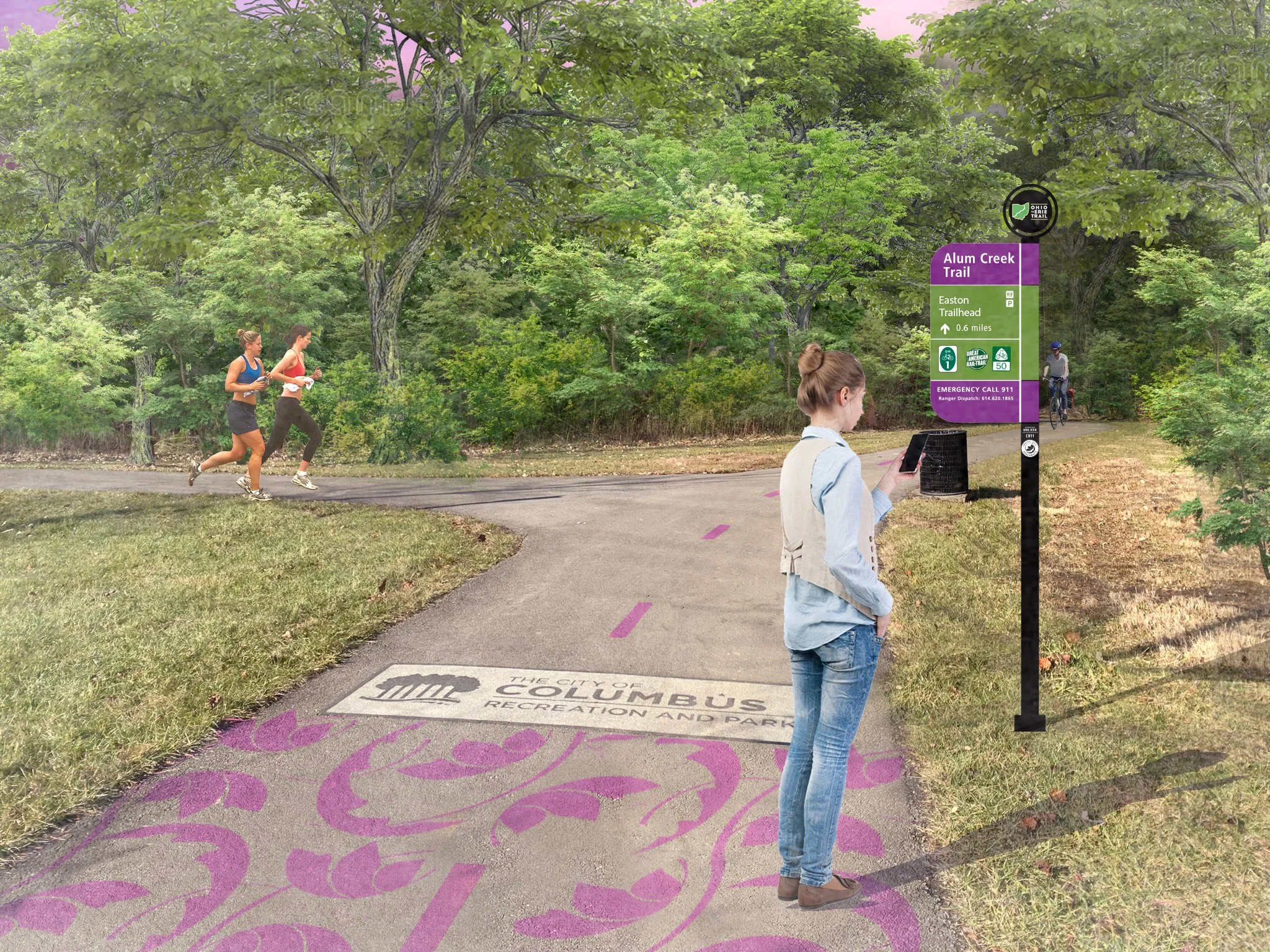
The Central Ohio Greenways Wayfinding Strategy Guide will honor the wayfinding investments communities have already made and provide additional strategies to make Central Ohio’s trails as easy to navigate as our roadways.


