Public Art Planning, Community Engagement Designing Local 5/12/26 Public Art Planning, Community Engagement Designing Local 5/12/26 Roeland Park Public Art Master Plan Read More Community Engagement, Arts & Culture Planning Designing Local 5/12/26 Community Engagement, Arts & Culture Planning Designing Local 5/12/26 Greater Lafayette Regional Arts & Culture Strategy Read More Community Engagement, Arts & Culture Planning Designing Local 5/12/26 Community Engagement, Arts & Culture Planning Designing Local 5/12/26 South Bend - Elkhart Regional Partnership Arts Plan Read More Community Engagement, Arts & Culture Planning Designing Local 5/12/26 Community Engagement, Arts & Culture Planning Designing Local 5/12/26 Wabash River Region Arts & Culture Plan Read More Community Engagement, Arts & Culture Planning Designing Local 5/12/26 Community Engagement, Arts & Culture Planning Designing Local 5/12/26 Temple Arts & Culture Master Plan Temple, Texas Read More Urban Planning & Design Designing Local 5/4/26 Urban Planning & Design Designing Local 5/4/26 Orem Heart Downtown Master Plan Orem, Utah Read More Community Engagement, Arts & Culture Planning Designing Local 4/29/26 Community Engagement, Arts & Culture Planning Designing Local 4/29/26 New Braunfels Arts & Culture Strategic Master Plan New Braunfels, Texas Read More Public Art Planning, Community Engagement, Arts & Culture Planning, Urban Planning & Design, Landscape Architecture Designing Local 4/21/26 Public Art Planning, Community Engagement, Arts & Culture Planning, Urban Planning & Design, Landscape Architecture Designing Local 4/21/26 Reimagining Columbus Columbus, Ohio Read More Community Engagement, Arts & Culture Planning Designing Local 4/21/26 Community Engagement, Arts & Culture Planning Designing Local 4/21/26 NCIRPC Strategic Arts Plan Read More Public Art Planning, Community Engagement Designing Local 4/21/26 Public Art Planning, Community Engagement Designing Local 4/21/26 Tempe Public Art Plan Read More Urban Planning & Design, Community Engagement, Arts & Culture Planning Designing Local 3/31/26 Urban Planning & Design, Community Engagement, Arts & Culture Planning Designing Local 3/31/26 Downtown Warsaw Cultural Arts District Plan Read More Public Art Planning, Community Engagement, Public Art Curation Designing Local 3/31/26 Public Art Planning, Community Engagement, Public Art Curation Designing Local 3/31/26 Burleson Public Art Plan Read More Urban Planning & Design Designing Local 2/16/26 Urban Planning & Design Designing Local 2/16/26 Campus District Master Plan Read More Community Engagement, Arts & Culture Planning Designing Local 1/25/26 Community Engagement, Arts & Culture Planning Designing Local 1/25/26 Park City // Summit County Arts & Culture Master Plan Park City, Utah Read More Community Engagement, Public Art Planning Designing Local 1/25/26 Community Engagement, Public Art Planning Designing Local 1/25/26 The Point Public Art Plan Read More Community Engagement, Arts & Culture Planning Designing Local 1/19/26 Community Engagement, Arts & Culture Planning Designing Local 1/19/26 Watsonville Arts Plan Read More Community Engagement, Public Art Planning Designing Local 10/11/25 Community Engagement, Public Art Planning Designing Local 10/11/25 Riviera Beach Art in Public Places Plan Read More Historic Preservation Designing Local 10/10/25 Historic Preservation Designing Local 10/10/25 Powell Historic Survey Read More Public Art Planning, Community Engagement Designing Local 7/17/25 Public Art Planning, Community Engagement Designing Local 7/17/25 Downtown Ormond Beach Master Arts Plan Read More Public Art Planning, Community Engagement Designing Local 6/30/25 Public Art Planning, Community Engagement Designing Local 6/30/25 Milpitas Public Art Plan Read More Older Posts
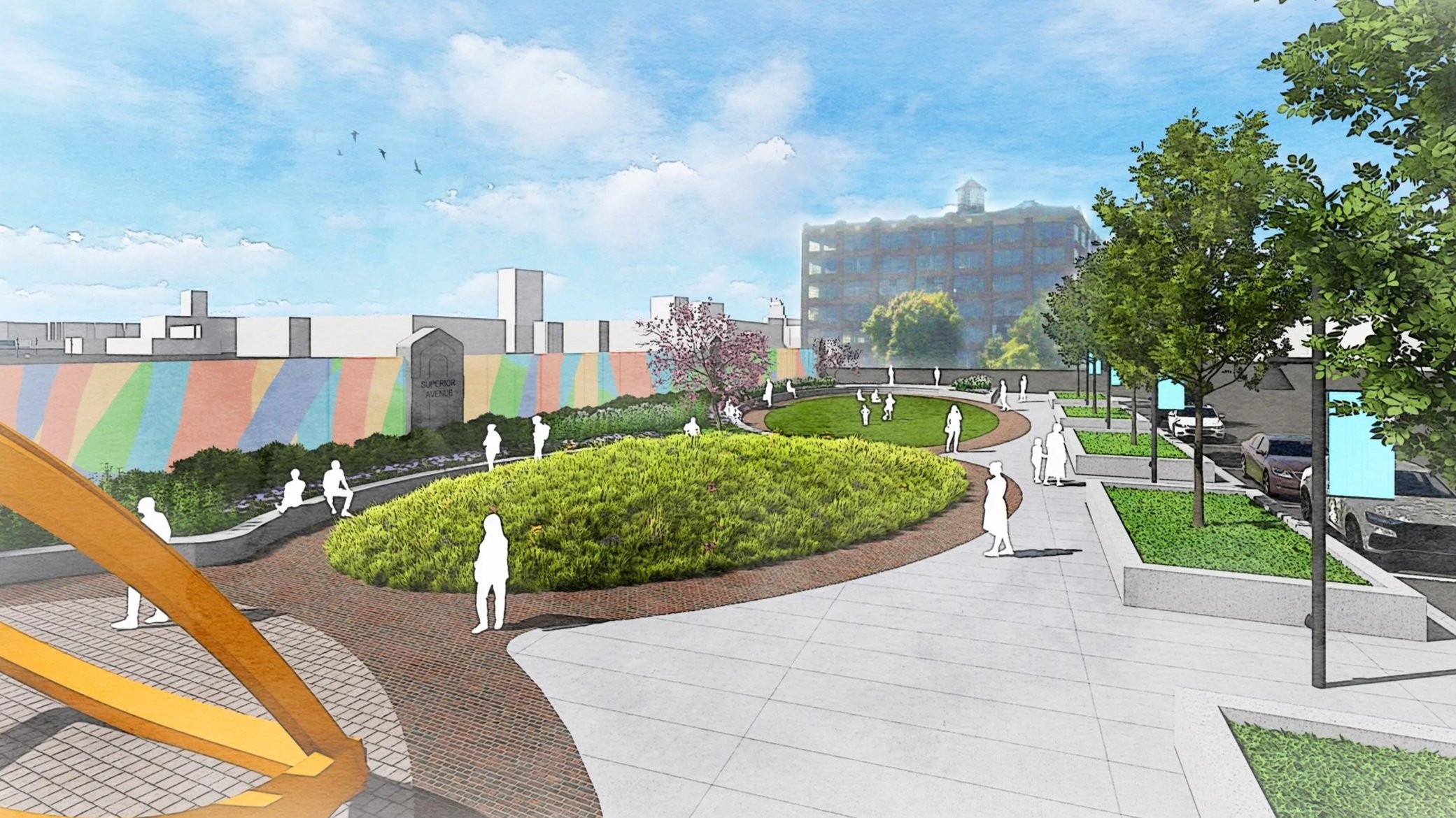
Public Art Planning, Community Engagement Designing Local 5/12/26 Public Art Planning, Community Engagement Designing Local 5/12/26 Roeland Park Public Art Master Plan Read More
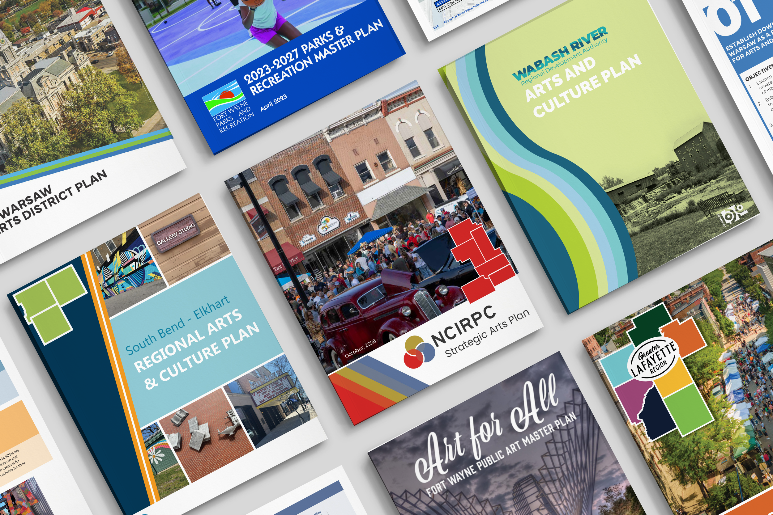
Community Engagement, Arts & Culture Planning Designing Local 5/12/26 Community Engagement, Arts & Culture Planning Designing Local 5/12/26 Greater Lafayette Regional Arts & Culture Strategy Read More
Community Engagement, Arts & Culture Planning Designing Local 5/12/26 Community Engagement, Arts & Culture Planning Designing Local 5/12/26 South Bend - Elkhart Regional Partnership Arts Plan Read More
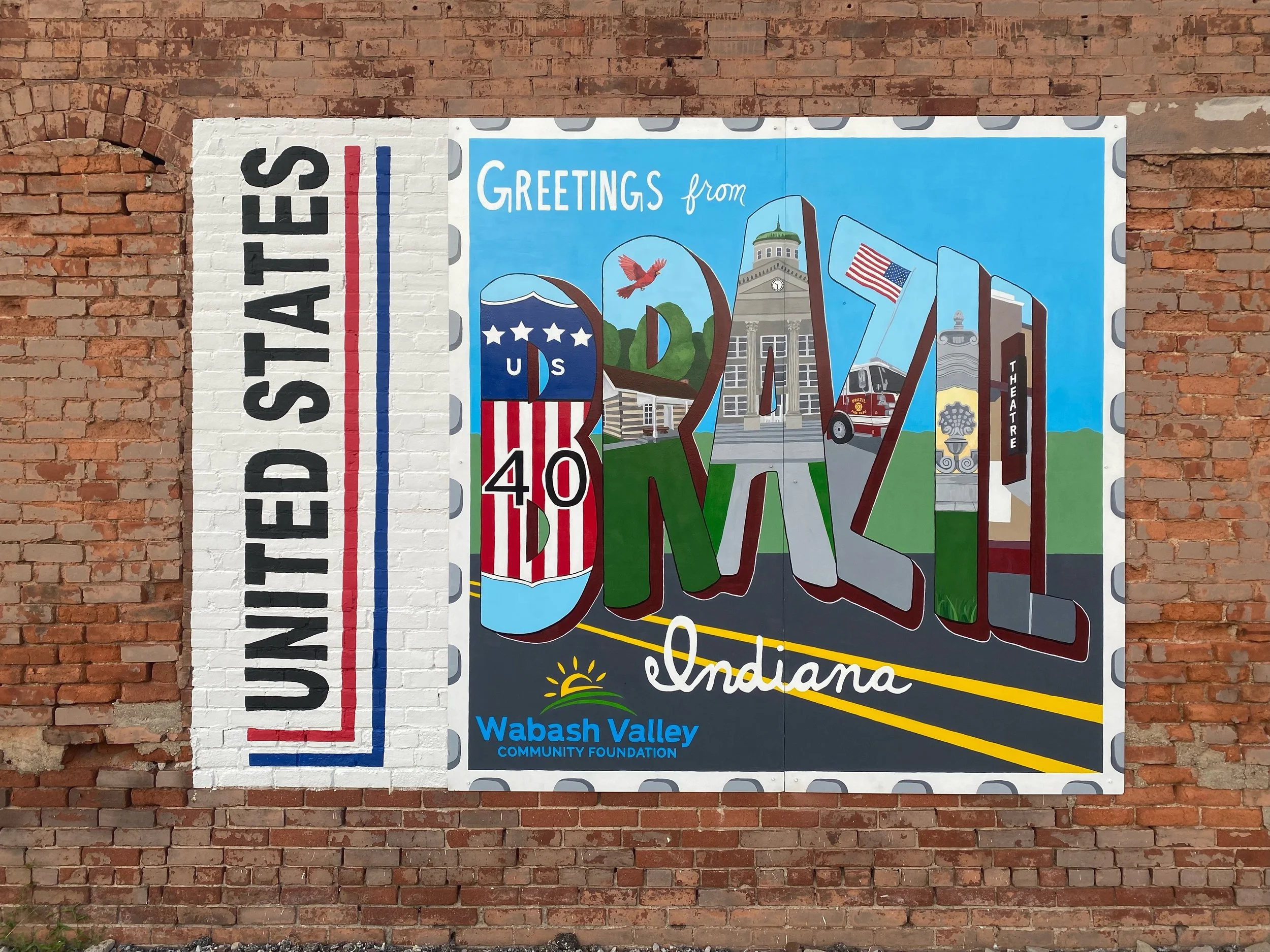
Community Engagement, Arts & Culture Planning Designing Local 5/12/26 Community Engagement, Arts & Culture Planning Designing Local 5/12/26 Wabash River Region Arts & Culture Plan Read More
Community Engagement, Arts & Culture Planning Designing Local 5/12/26 Community Engagement, Arts & Culture Planning Designing Local 5/12/26 Temple Arts & Culture Master Plan Temple, Texas Read More
Urban Planning & Design Designing Local 5/4/26 Urban Planning & Design Designing Local 5/4/26 Orem Heart Downtown Master Plan Orem, Utah Read More
Community Engagement, Arts & Culture Planning Designing Local 4/29/26 Community Engagement, Arts & Culture Planning Designing Local 4/29/26 New Braunfels Arts & Culture Strategic Master Plan New Braunfels, Texas Read More
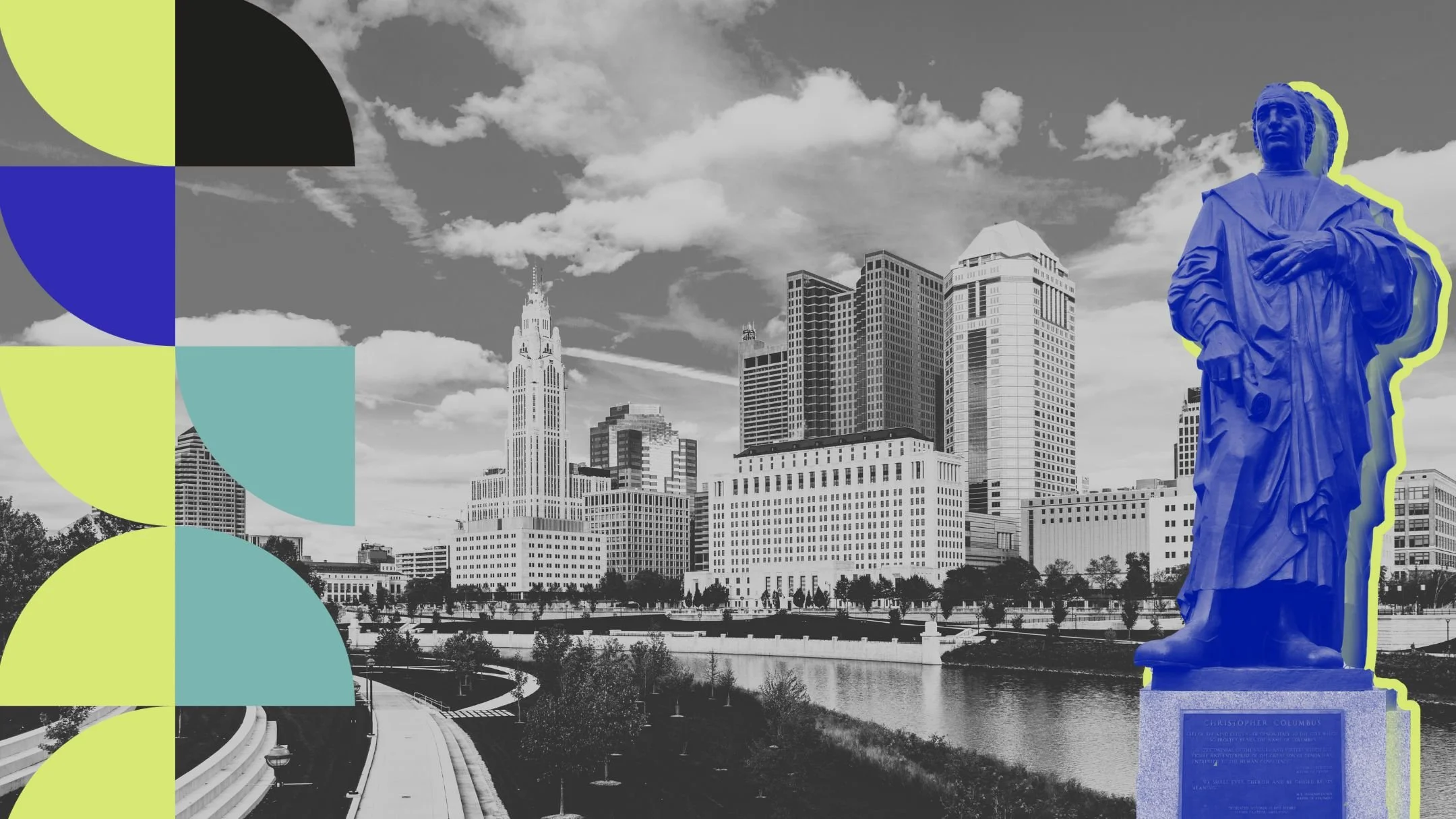
Public Art Planning, Community Engagement, Arts & Culture Planning, Urban Planning & Design, Landscape Architecture Designing Local 4/21/26 Public Art Planning, Community Engagement, Arts & Culture Planning, Urban Planning & Design, Landscape Architecture Designing Local 4/21/26 Reimagining Columbus Columbus, Ohio Read More
Community Engagement, Arts & Culture Planning Designing Local 4/21/26 Community Engagement, Arts & Culture Planning Designing Local 4/21/26 NCIRPC Strategic Arts Plan Read More
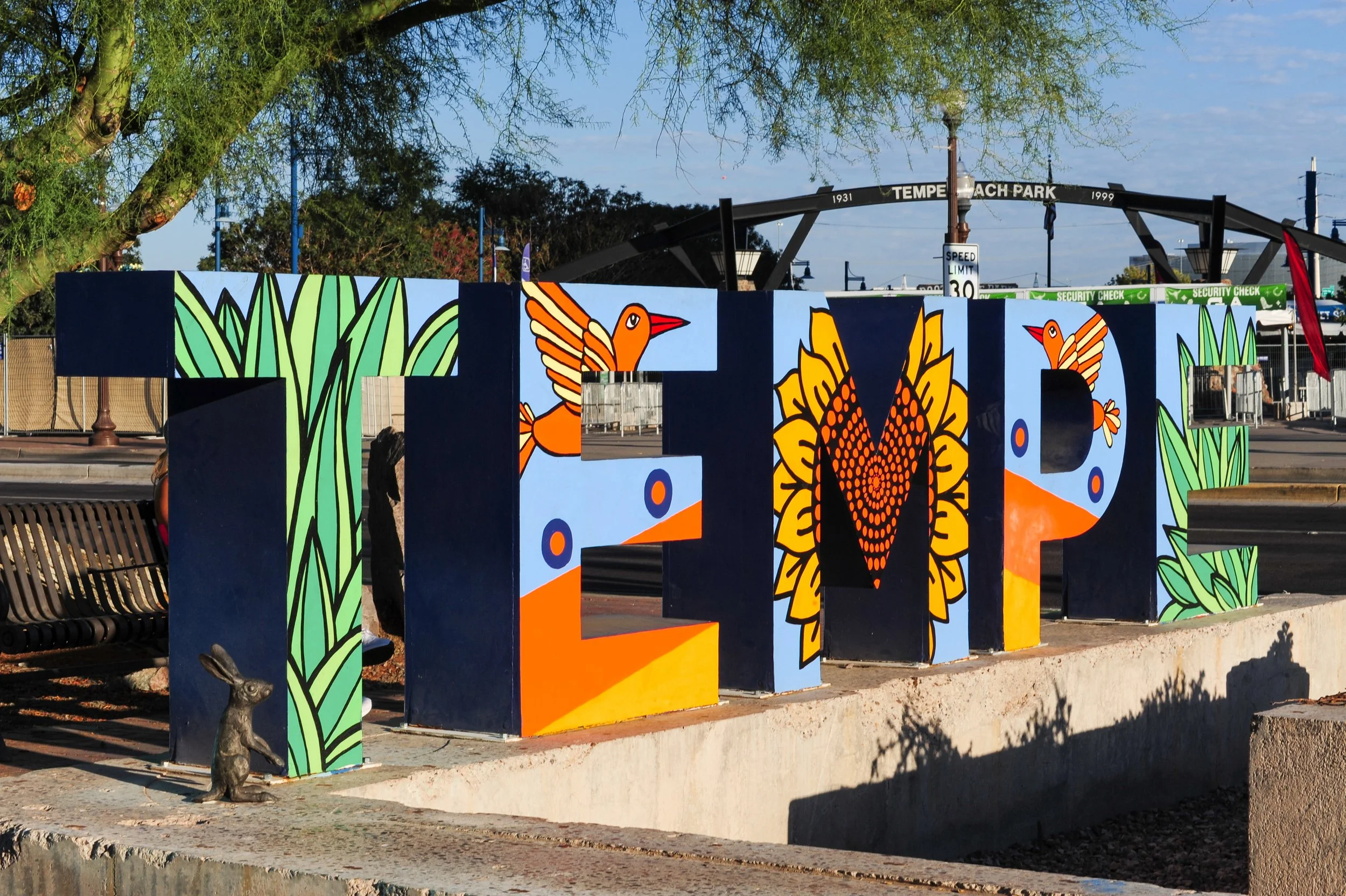
Public Art Planning, Community Engagement Designing Local 4/21/26 Public Art Planning, Community Engagement Designing Local 4/21/26 Tempe Public Art Plan Read More
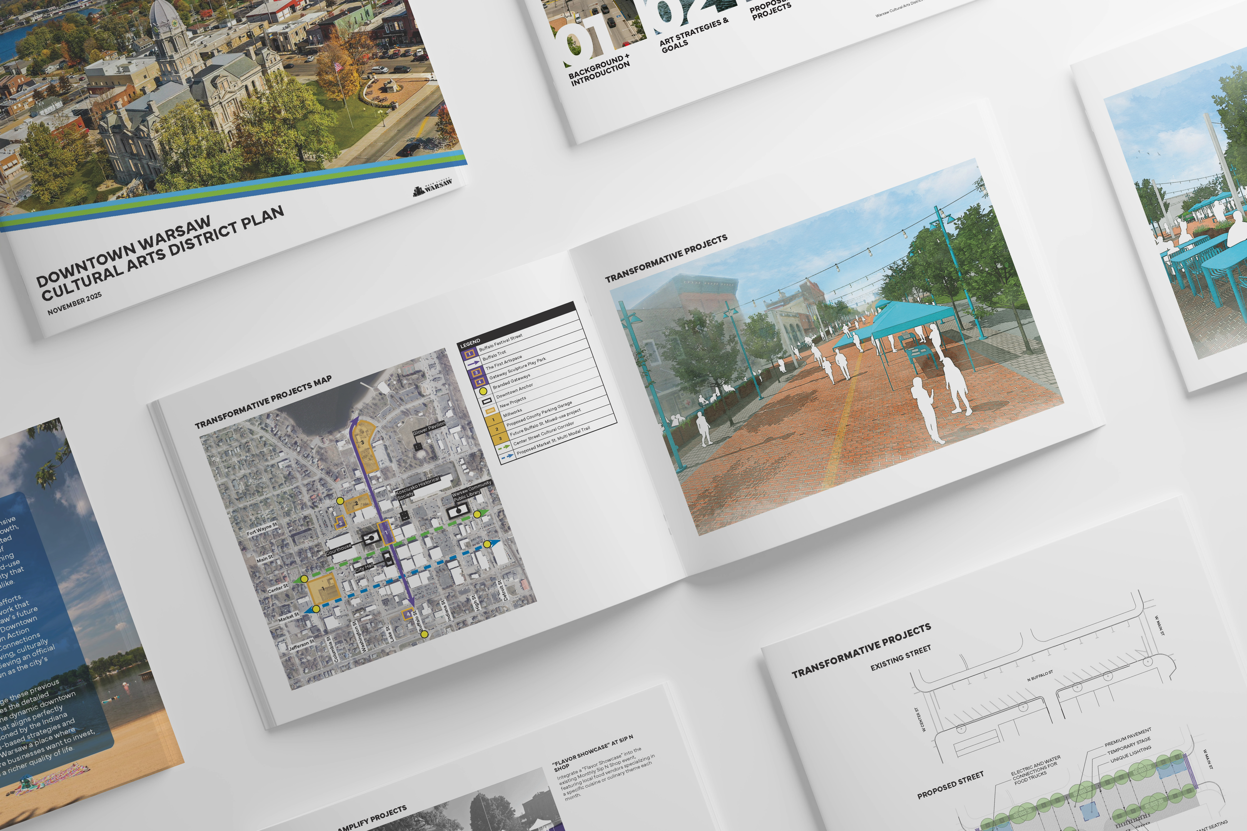
Urban Planning & Design, Community Engagement, Arts & Culture Planning Designing Local 3/31/26 Urban Planning & Design, Community Engagement, Arts & Culture Planning Designing Local 3/31/26 Downtown Warsaw Cultural Arts District Plan Read More
Public Art Planning, Community Engagement, Public Art Curation Designing Local 3/31/26 Public Art Planning, Community Engagement, Public Art Curation Designing Local 3/31/26 Burleson Public Art Plan Read More
Urban Planning & Design Designing Local 2/16/26 Urban Planning & Design Designing Local 2/16/26 Campus District Master Plan Read More
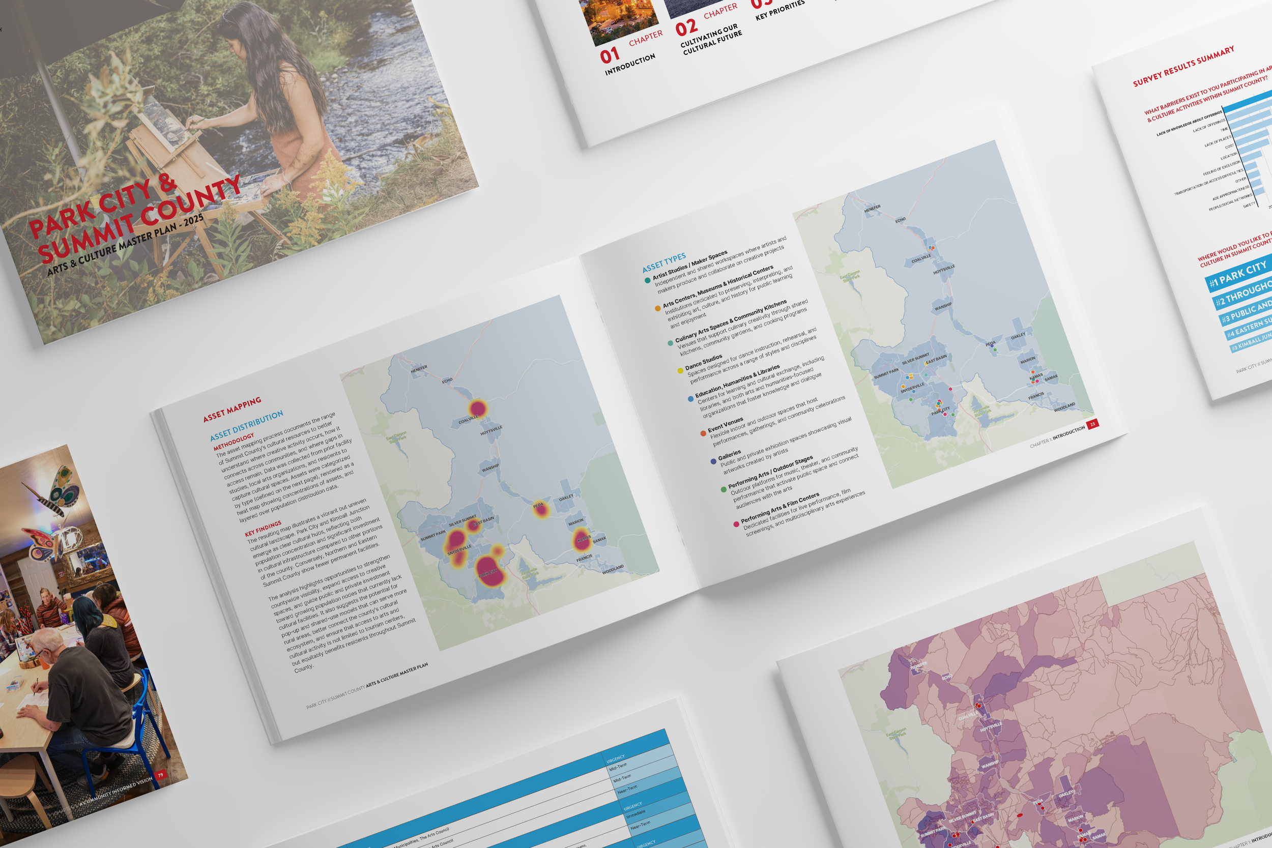
Community Engagement, Arts & Culture Planning Designing Local 1/25/26 Community Engagement, Arts & Culture Planning Designing Local 1/25/26 Park City // Summit County Arts & Culture Master Plan Park City, Utah Read More
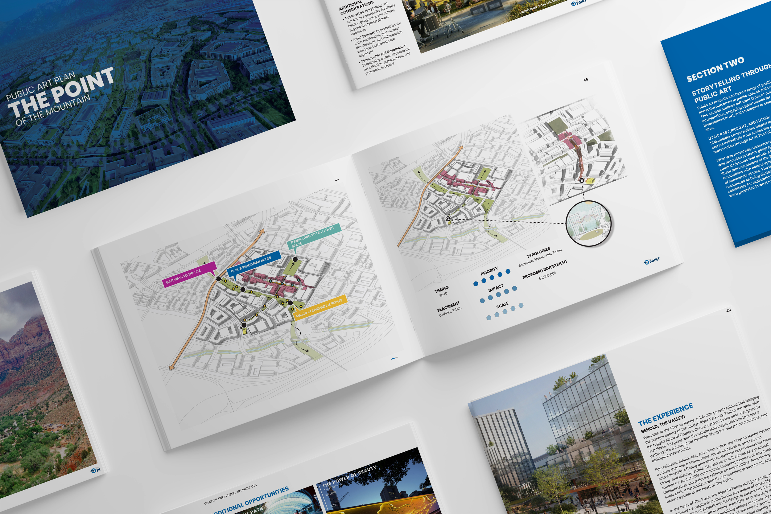
Community Engagement, Public Art Planning Designing Local 1/25/26 Community Engagement, Public Art Planning Designing Local 1/25/26 The Point Public Art Plan Read More
Community Engagement, Arts & Culture Planning Designing Local 1/19/26 Community Engagement, Arts & Culture Planning Designing Local 1/19/26 Watsonville Arts Plan Read More
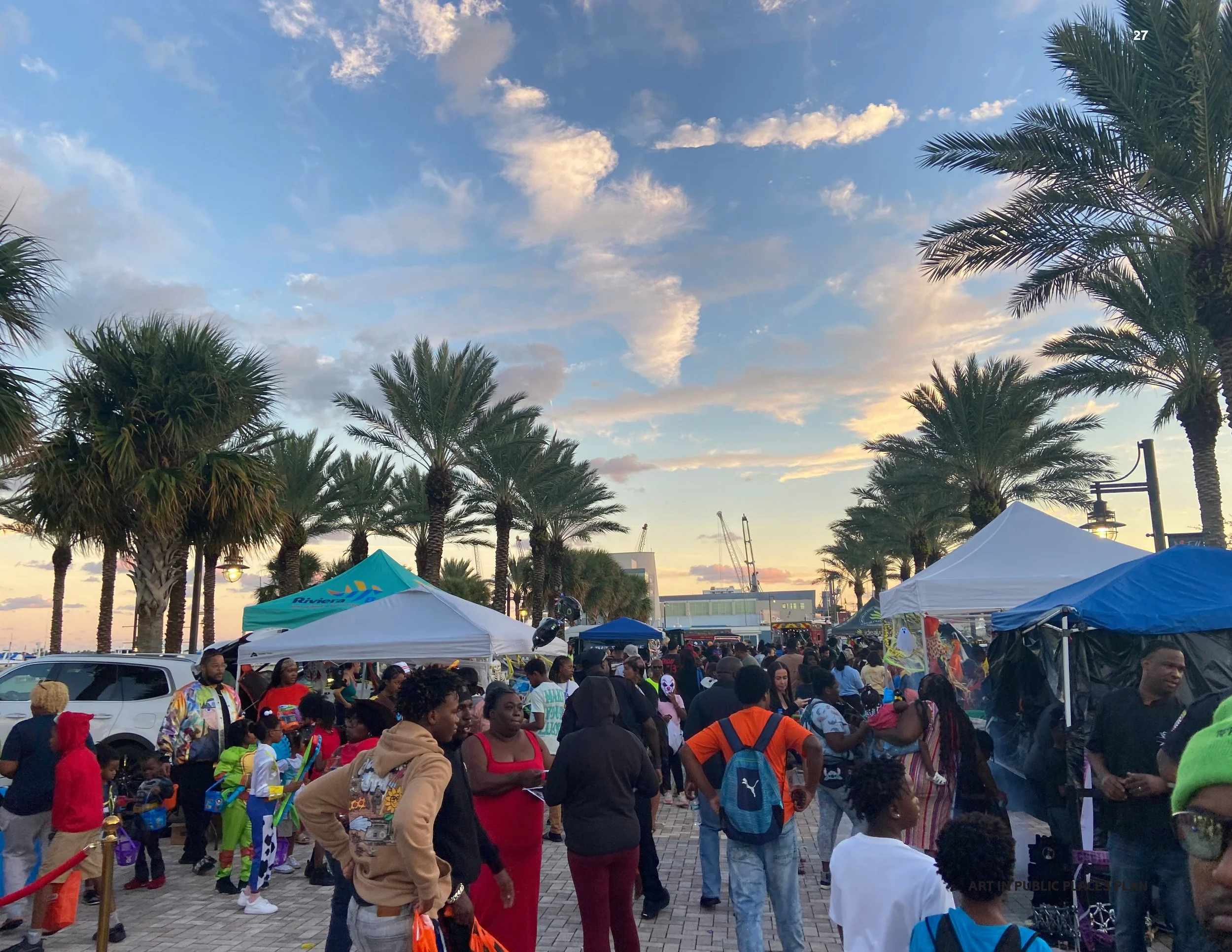
Community Engagement, Public Art Planning Designing Local 10/11/25 Community Engagement, Public Art Planning Designing Local 10/11/25 Riviera Beach Art in Public Places Plan Read More
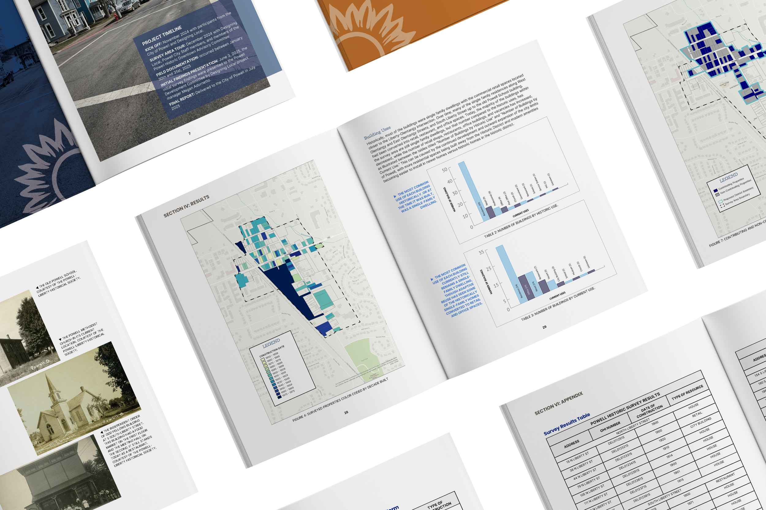
Historic Preservation Designing Local 10/10/25 Historic Preservation Designing Local 10/10/25 Powell Historic Survey Read More
Public Art Planning, Community Engagement Designing Local 7/17/25 Public Art Planning, Community Engagement Designing Local 7/17/25 Downtown Ormond Beach Master Arts Plan Read More
Public Art Planning, Community Engagement Designing Local 6/30/25 Public Art Planning, Community Engagement Designing Local 6/30/25 Milpitas Public Art Plan Read More