Campus District Master Plan
Cleveland, Ohio
WHY
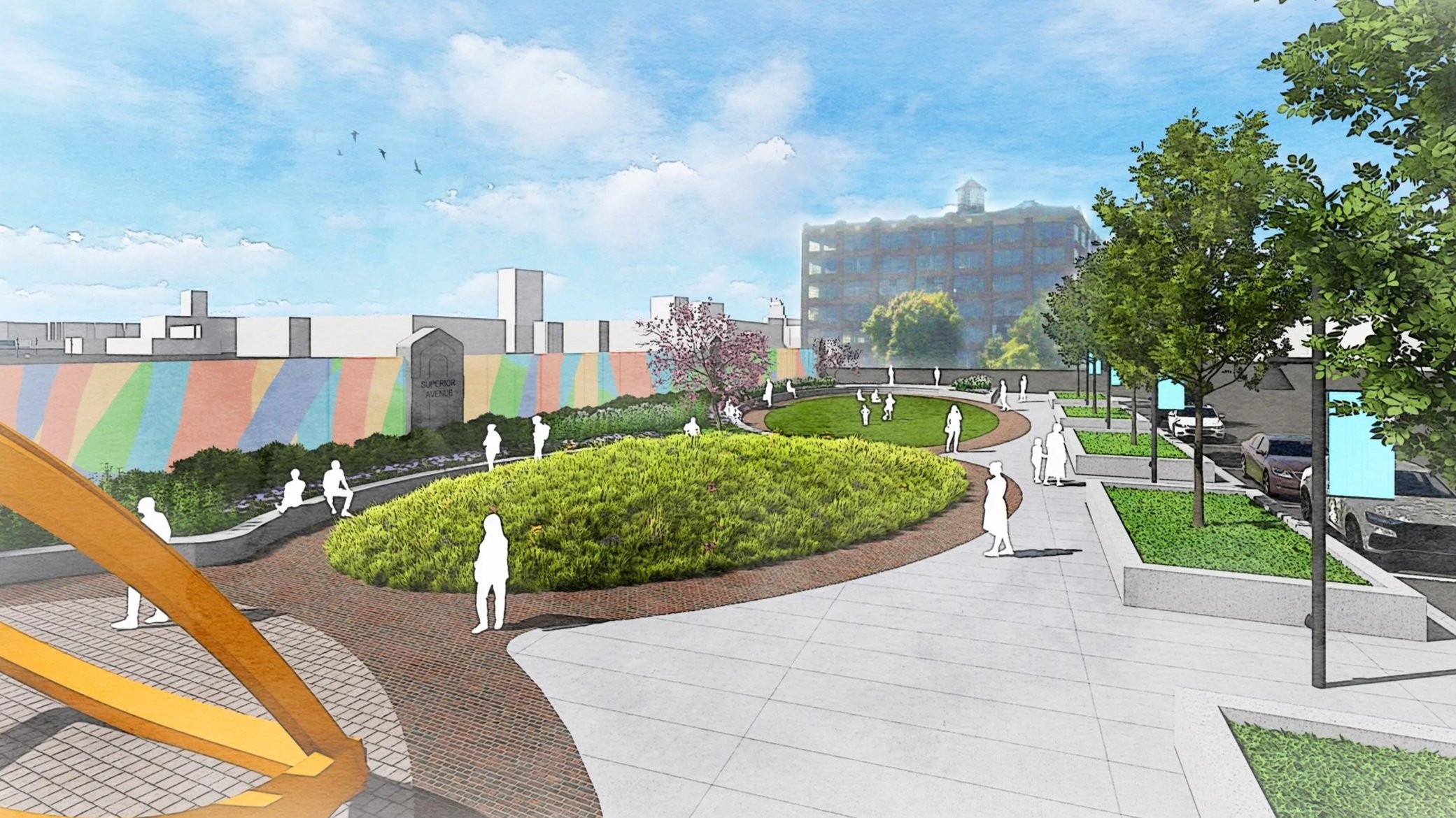
The Campus District in Downtown Cleveland, Ohio is a key downtown area defined by three anchor institutions: Cleveland State University (CSU), Cuyahoga Community College (Tri-C) Metro Campus, and the former St. Vincent Charity Medical Center. Located just east of the central business district along major corridors, this area is a dense, dynamic mix of educational institutions, social services, and businesses, drawing thousands of students, faculty, and workers daily. Recent and future developments have spurred the need to revitalize the area in order to attract mixed-use residential projects and street-level retail and to maintain access to critical social services. This area is a dynamic urban community that is well positioned to be a destination for living, working, and healing.
HOW
The Campus District Master Plan establishes a strategic framework for fostering a community of purpose, focusing on five key themes: safety, vibrancy, connectivity, restoration, and authenticity. This comprehensive approach is designed to drive economic growth and cultivate a neighborhood with attractive housing options, ultimately transforming the area into a more active and connected urban environment. Designing Local leveraged core themes to enhance the district’s historic character. Specific interventions to improve connectivity between key amenities at the north and south ends of this large urban area, create new public spaces like the Campus Trail and pocket parks, and identify public art and placemaking opportunities that will serve as catalysts for economic development and resident attraction. The plan’s initial objectives include refining zoning, simplifying the design review process, expanding historic tax credit opportunities, and strategically redeveloping marquee historic buildings to diversify the housing stock.
WHAT
The master plan prioritizes enhancing multimodal connectivity and revitalizing the public realm. Initiatives are focused on supporting small businesses, consolidating surface parking lots for future development, and implementing public art programs that will revitalize streetscapes and define new gateways at the eastern and western edges of the district. The ultimate goal is to create a well-connected and economically strong Campus District that celebrates its significant history while establishing itself as an iconic destination for residents and visitors of Downtown Cleveland.
Park City // Summit County Arts & Culture Master Plan
Park City // Summit County, Utah
WHY
The foundations of this Arts & Culture Master Plan emerge from a deep understanding of Summit County’s creative landscape—its history, its current conditions, and the aspirations voiced by residents, artists, and cultural leaders. Through comprehensive planning assessment, data analysis and asset mapping, peer benchmarking, and community engagement, a clear picture comes into focus: Summit County is a community rich in cultural assets yet marked by uneven access, constrained capacity, and untapped potential. These foundational insights ground the plan’s vision and directly shape the strategies and key priorities that chart a roadmap toward a more connected, equitable, and resilient cultural ecosystem for all.
HOW
The Park City // Summit County Arts & Culture Master Plan is grounded in a comprehensive assessment of the county’s cultural ecosystem, combining asset mapping, benchmarking, data analysis, and targeted community engagement to understand both strengths and structural gaps. The planning process revealed a region rich in cultural legacy and economic impact, yet constrained by uneven geographic access, fragmented leadership, limited infrastructure, and a lack of coordinated funding and implementation capacity. These findings shaped a clear, evidence-based framework for action rather than a purely aspirational vision.
WHAT
Building on prior efforts such as Project ABC (Arts, Beauty, Culture) and the Sustainable Tourism Plan, the Master Plan establishes a strategic roadmap to strengthen arts and culture countywide through coordinated leadership, diversified funding, equitable distribution of facilities and programming, and long-term cultural infrastructure investment. The plan emphasizes practical mechanisms—such as expanded public art planning, artist housing and workspace strategies, cultural district development, and cross-sector partnerships—to support sustainable growth and community identity. By aligning cultural planning with tourism, economic development, and placemaking, the plan provides a phased, implementable guide to ensure arts and culture remain integral to Summit County’s social, economic, and physical vitality.
Watsonville Arts Plan
Watsonville, California
WHY
This Plan supports and furthers the City's commitment to supporting and fostering community arts and culture, as outlined in the City's Public Art/Percent for the Arts Program and the Downtown Watsonville Specific Plan, as well as capital improvement projects, such as the City Plaza Revitalization Project.
HOW
This plan establishes a strategic framework for strengthening arts and culture as a driver of community well-being and economic opportunity, grounded in the city’s cultural heritage and locally led creative activity. Central to the plan is the creation of a formal Cultural District and the strategic use of the City’s Percent for the Arts program to support coordinated investment, long-term planning, and increased visibility for local artists and cultural organizations.
WHAT
The plan prioritizes cross-sector partnerships with organizations such as the Arts Council of Santa Cruz County, Arts de Watsonville, Watsonville Film Festival, Cabrillo College, and Watsonville Brillante to better connect local creative talent to professional and economic opportunities. To support this ecosystem, the plan emphasizes organizational capacity-building, strategic staffing, and the exploration of expanded funding streams and targeted support programs that strengthen the sustainability of arts organizations and creative workers.
To translate strategy into on-the-ground impact, the plan focuses on physical and professional infrastructure that supports artists where they live and work. Recommendations include performance-ready infrastructure, permanent public art, and arts-led revitalization efforts that position culture as the heart of the community. These physical investments are paired with a unified Watsonville Arts identity, improved marketing and storytelling, and a more streamlined permitting process—ensuring local artists have the tools, visibility, and support needed to shape Watsonville’s identity and long-term prosperity.
Riviera Beach Art in Public Places Plan
Riviera Beach, Florida
WHY
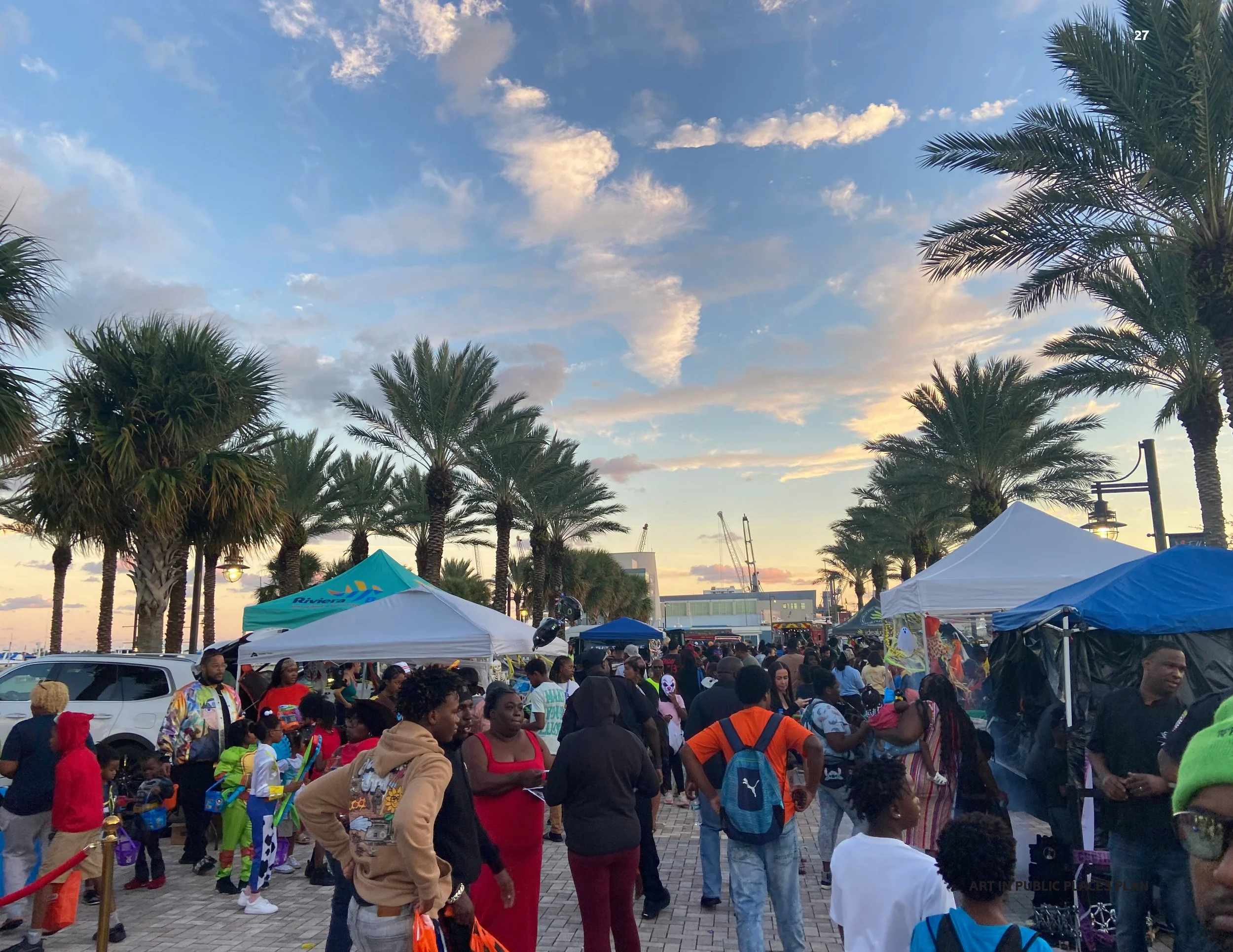
The Riviera Beach Art in Public Places Master Plan stemmed from a desire to move beyond mere beautification toward a unified civic identity through strategic public art investment. Recognizing that public art is a powerful catalyst, city leaders embraced the plan as a roadmap to express core community values, celebrate the rich culture of its neighborhoods, and invigorate the local experience for both long-term residents and incoming visitors. The underlying goal was to integrate the arts into the "Reimagining Riviera Beach" initiative—a comprehensive push for renewal that seeks to overcome systemic obstacles, strengthen community engagement, and leverage the city’s abundant natural amenities and history for future, equitable economic growth. The Art in Public Places program was created to be an essential element for establishing a distinct cultural presence and enhancing the city’s quality of life.
HOW
Developing the comprehensive recommendations for the Art in Public Places Master Plan relied on robust community input. The planning process was organized around several key milestones, including a formal discovery visit, followed by a community survey, stakeholder interviews, and targeted focus groups. This collaborative approach ensured that the resulting recommendations—which included establishing selection criteria, defining key opportunity sites, proposing updates to the City’s existing percent for art ordinance, and recommending a solid set of public art policies —accurately reflected the needs and aspirations of the diverse population. Furthermore, the plan works within the framework of the established Public Art Advisory Board, which provides ongoing, professional governance by reviewing applications, advising the City Council on maintenance policies, and ensuring that all proposed artwork aligns with the city's broader vision.
WHAT
Ultimately, the successful implementation of the Art in Public Places Master Plan promises to deliver significant social, cultural, and economic outcomes for Riviera Beach. Socially, the resulting artwork is expected to foster a greater sense of attachment and ownership among residents, creating creative gathering spaces and inspiring contemplation. Culturally, the art will reflect local history and unique identity, serving as a platform for open discourse and inclusive community connection. Most critically, the plan is designed to realize tangible economic value by enhancing the city’s brand, attracting cultural tourism, and directly supporting the economic development strategy. The vision is for Riviera Beach’s commitment to art to become a distinguishing feature of the region, ensuring that creativity breathes life into public spaces and contributes to a vibrant, prosperous future for all.
North Central Indiana Region Strategic Arts Plan
Cass, Clinton, Fulton, Howard, Miami, and Tipton Counties, Indiana
WHY
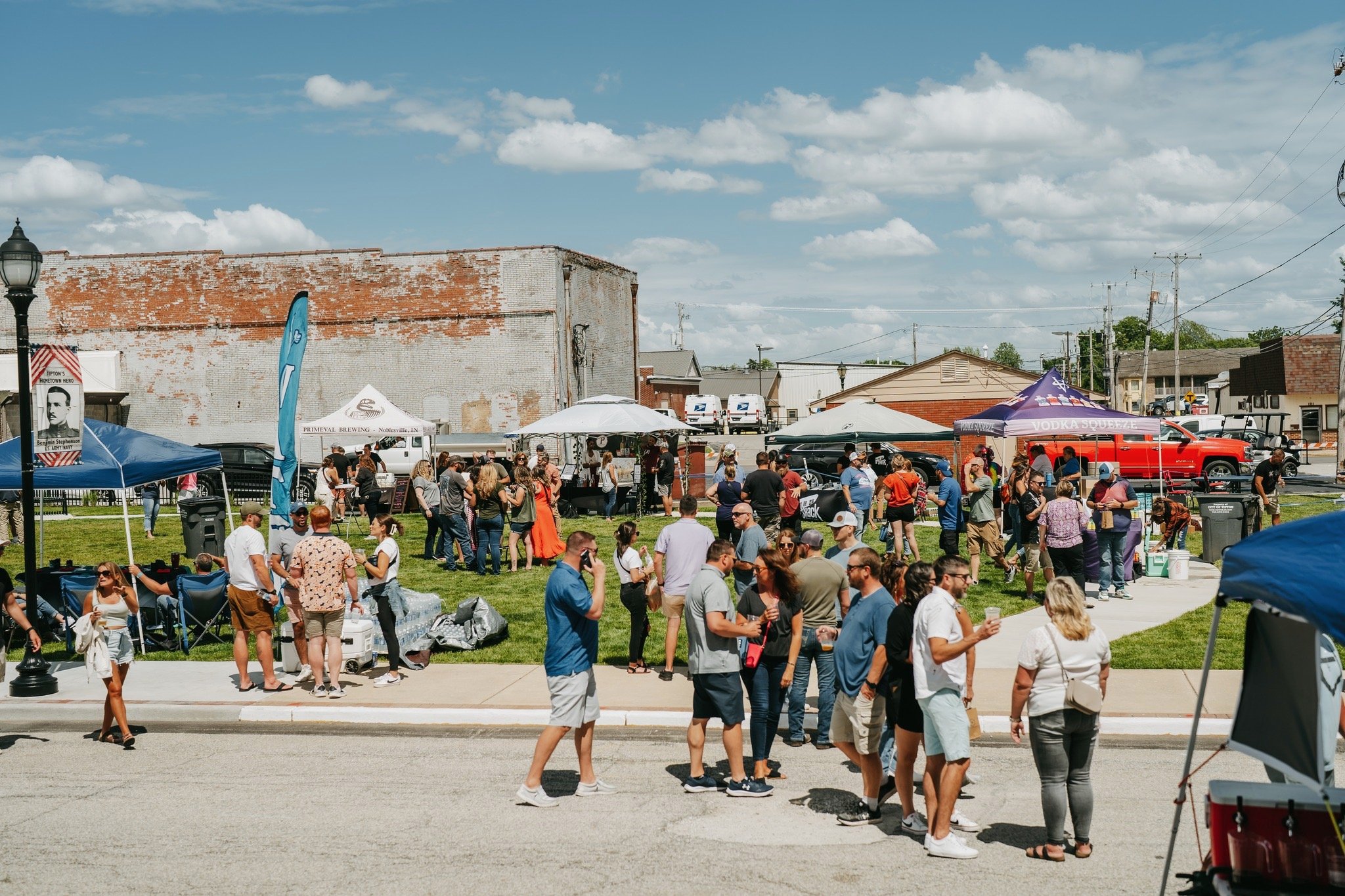
The North Central Indiana Regional Planning Council (NCIRPC) launched its Strategic Arts Plan as part of a larger, state-wide strategy to address regional challenges like population loss and to capitalize on significant economic investments, such as the record-setting expansion in advanced manufacturing. The primary reason for initiating this plan was the recognition that a robust arts and culture scene is crucial for improving "quality of place," which directly impacts talent attraction and retention—a key necessity for continued growth. The plan serves as a roadmap to revitalize the arts and culture sector across the six-county region, ensuring that local vibrancy and quality of life keep pace with the ongoing industrial and economic transformation. By focusing on culture, the region aims to create a more livable and attractive destination for current and future Hoosiers.
HOW
The development of the plan was intentionally a collaborative and community-driven process. To ensure the recommendations reflected the needs and aspirations of the entire region, the NCIRPC engaged in extensive public engagement activities. This included issuing wide-reaching community surveys, hosting focus groups, and facilitating online forums that invited residents, artists, and organizational leaders to share their ideas. This methodology was crucial for identifying and prioritizing ambitious, "big ideas" for regional transformation. By building the plan on this broad community input, the council sought to create a collective vision that would define the role arts and culture play in Northern Central Indiana, thus ensuring the strategy was relevant, inclusive, and supported by a diverse cross-section of stakeholders.
WHAT
The Strategic Arts Plan is designed to deliver transformative outcomes across several key areas of the region. The prioritized projects focus on boosting cultural tourism strategies to attract outside visitors through unique experiences. Furthermore, the plan aims to create new physical spaces, including visual arts hubs for creators to live and work, and new performing arts venues for artists to rehearse and perform. Another critical outcome is the expansion of arts education Initiatives to ensure quality arts access for all ages. Ultimately, the successful implementation of these strategies—bolstered by the availability of new regional funding opportunities through programs like READI 2.0—will revitalize the region's cultural landscape, strengthen social connections, and firmly position North Central Indiana as a vibrant, innovative destination.
Powell Historic Survey
Powell, Ohio
WHY
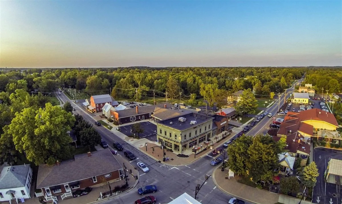
Powell has a deep appreciation for its history and is proactive in making improvements and advancements in its historic preservation efforts. The City took the initiative to update its Zoning Code, and with that, look into any relevant historic preservation policy or relevant efforts listed in the code. The City anticipates that a historic survey will inform and enhance its preservation policies and initiatives. The primary goal of this survey was to determine if the project area could be designated as a historic district. Another goal was to create practical policy recommendations for the City.
HOW
Designing Local evaluated 80 properties within the Historic Downtown Powell area to determine eligibility for designation as a historic district. The survey, completed in January 2025, documented properties built before 1975, focusing on their historical significance, architectural styles, and integrity.
WHAT
The survey identified a mix of residential, commercial, and institutional buildings, with most structures being vernacular in style and dating from 1859 to 1973. Recommendations include creating a local historic district, writing a preservation ordinance, establishing a local historic register, and becoming a Certified Local Government to access funding opportunities like tax credits and grants. The survey emphasized the importance of community engagement and education in advancing historic preservation goals while proposing boundaries for a new historic district to protect Powell’s cultural heritage.
Vacaville Arts & Culture Master Plan
Vacaville, California
WHY
The Vacaville Arts & Culture Master Plan was developed through a comprehensive and highly collaborative process led by Designing Local, structured around four key phases: Discovery, Community Engagement, Synthesis, and Plan creation.
HOW
The success of the plan was the extensive outreach that was completed, which actively involved residents, local creatives, and arts organizations from every corner of the city. A major component of this phase was the “Weaving Our Future” art project, featuring workshops held in each of Vacaville’s districts, where community members shared their aspirations for public art and cultural engagement through words, drawings, and shapes. This hands-on, community-driven approach was critical to building consensus and ensuring the final plan reflected the diverse voices and visions of Vacaville’s population.
WHAT
The final Plan provides a focused, five-year strategic roadmap for the City’s commitment to arts and culture, establishing foundational policies, a clear vision for cultural growth, and a streamlined approach to public art integration. Key tangible outcomes include the comprehensive Arts and Culture Master Plan document, accompanied by a Draft Public Art Program Policy and a Draft Arts Advisory Committee Policy. Together, these deliverables define the infrastructure for the City to enhance quality of life, strengthen local economic development, and cultivate a truly culturally rich and attractive community for both residents and visitors alike.
Downtown Ormond Beach Master Arts Plan
Ormond Beach, Florida
WHY
The Ormond Beach Downtown Master Arts Plan is a comprehensive plan that outlines strategies to integrate public art into key areas in its historic downtown, including parks, sidewalks, gateways, and the iconic Granada Bridge, enhancing the city's identity and elevating its appeal for residents and visitors alike. With input from community members, stakeholders, and experts, the plan emphasizes art that reflects Ormond Beach's coastal beauty, rich history, and small-town charm, while fostering inclusivity and accessibility for all.
HOW
Through detailed recommendations based on extensive community input, the plan introduces innovative public art typologies such as mosaics, sculptures, light installations, and environmental art, alongside functional art like artist-designed benches and planters. It also provides actionable steps for implementation, including funding strategies, artist selection processes, and maintenance guidelines to ensure the longevity of the projects. Special focus is given to the Granada Bridge, with proposals for transformative art installations that symbolize the city's character and connect its downtown and beachside districts. Designing Local collaborated closely with the Florida Department of Transportation to understand opportunities and key regulations surrounding public art implementation on the state-owned Granada Bridge.
WHAT
The Downtown Master Arts Plan is a call to action for Ormond Beach to embrace its cultural assets and create lasting experiences that inspire pride and spark conversation. By leveraging community input, strategic partnerships, and sustainable funding mechanisms, the plan positions Downtown Ormond Beach, a Community Redevelopment Area established in 1984, as a destination for art, culture, and innovation, ensuring its legacy as a vibrant and welcoming city for generations to come.
Milpitas Public Art Plan
Milpitas, California
WHY
The Milpitas Public Art Master Plan outlines a 10 year vision for public art as a dynamic and inclusive force that fosters belonging, reflects the city’s diversity, and enhances residents’ quality of life. Strategic recommendations emphasize community-centric, accessible art that resonates with Milpitas’ diverse population, including bilingual signage, and a Public Art Field Guide. As Milpitas looks to the future, Milpitas is also in a distinct moment in its history. The City’s population has become increasingly diverse with each generation, and will continue to embrace neighbors from around the world. Public art is not only a powerful mechanism for bridging the past and the future, but also it is an essential part of connecting residents with each other across language or cultural divides. Through its beloved parks, civic amenities, and other public spaces, Milpitas’ public art will convey that all are welcome—and belong.
HOW
In addition to Designing Local’s community-oriented approach to gathering public input for the plan, Designing Local hosted two artist-led engagement events. Edi Hsu and Saranya Chandrasekaran each lead community art making projects that yielded productive conversation with the community during the City’s Lantern Festival in September 2024 and the Holi Festival in March 2025. Additionally, Designing Local worked with ACT Art Conservation to develop a collection assessment report on the overall condition of objects in Milpitas’ public art collection. An updated appraisal report, created by Roth Art Group, was included in the scope as well.
WHAT
The plan advocates balancing tradition and innovation to engage a STEM-focused community while maintaining relevance. Sustainable funding mechanisms are recommended, including increasing the developer fee from 0.5% to 1.5% or higher, alongside clear policies for collection care and maintenance. Additionally, the plan encourages community art-making projects, partnerships with public and private entities, and enhanced accessibility through consistent signage and online resources. Public art was strategically recommended to be placed in high-traffic and gathering areas to maximize impact, with collaboration between city departments, developers, artists, and cultural organizations to expand reach. The Plan also included a collection assessment report, which was the City’s first ever comprehensive condition report for objects in its collection, and an appraisal report.
Loudoun County Comprehensive Arts Plan
Loudoun County, Virginia
WHY
The Loudoun County Comprehensive Arts Plan (CAP) presents a vision, goals, and strategies to develop and establish Loudoun County, Virginia as a thriving arts and culture destination within the state. The actionable strategies outlined in this plan include public art investments, strategic artist support; and diverse, arts-focused programming and facilities that enrich and contribute to the health and wellbeing of the community. With vital input gleaned from community members, stakeholders, and experts, the plan emphasizes art that reflects Loudoun County’s culturally rich heritage.
HOW
The proposals outlined in the CAP were developed directly from extensive community engagement that was conducted from Fall 2024 through Spring 2025. Engagement for the CAP was split into two phases: Setting the Baseline and Ideating on the Future.
Phase 1: Setting the Baseline - Designed to elicit a comprehensive understanding of the arts and culture amenities and resources available in Loudoun County, and the direction in which participants wanted to see it progress. It consisted of a public survey, which received over 1,100 responses, over 60 one-on-one stakeholder interviews, 12 focus groups, and tabling at community events.
Phase 2: Ideating on the Future - Offered the community opportunities to review the findings of Phase 1 and rank them. This consisted of 4 public meetings and 3 virtual meetings totaling over 150 attendees, as well as additional targeted outreach.
The ideas developed in Phase 1, which included concepts such as increasing publicity and marketing efforts around the arts, and creating more visual spaces for artists, were prioritized during Phase 2 and then narrowed down into 5 guiding principles. Engagement from both phases helped our team develop a concise vision for arts and culture in Loudoun County.
WHAT
The Loudoun County Comprehensive Arts Plan will invigorate Loudoun County’s Arts and Culture Programming by consistently helping to create engaging public art, elevate and promote the value of the arts, while also fostering it as an accessible and inclusive community. The CAP proposes more investments in arts education for all ages that instills the importance of the arts in day-to-day life, but also supports a range of affordable, quality facilities for both visual and performing artists to work on and share their craft. The CAP will help Loudoun County to integrate arts and culture further into its identity, through leveraging existing infrastructure, expertise, and community connections to maximize impact and efficiency. These strategies will help to facilitate seamless collaboration, expand public access to the arts, and ensure that cultural initiatives are woven into the fabric of the community.
Toledo Old West End Historic District Design Guidelines
Toledo, Ohio
WHY
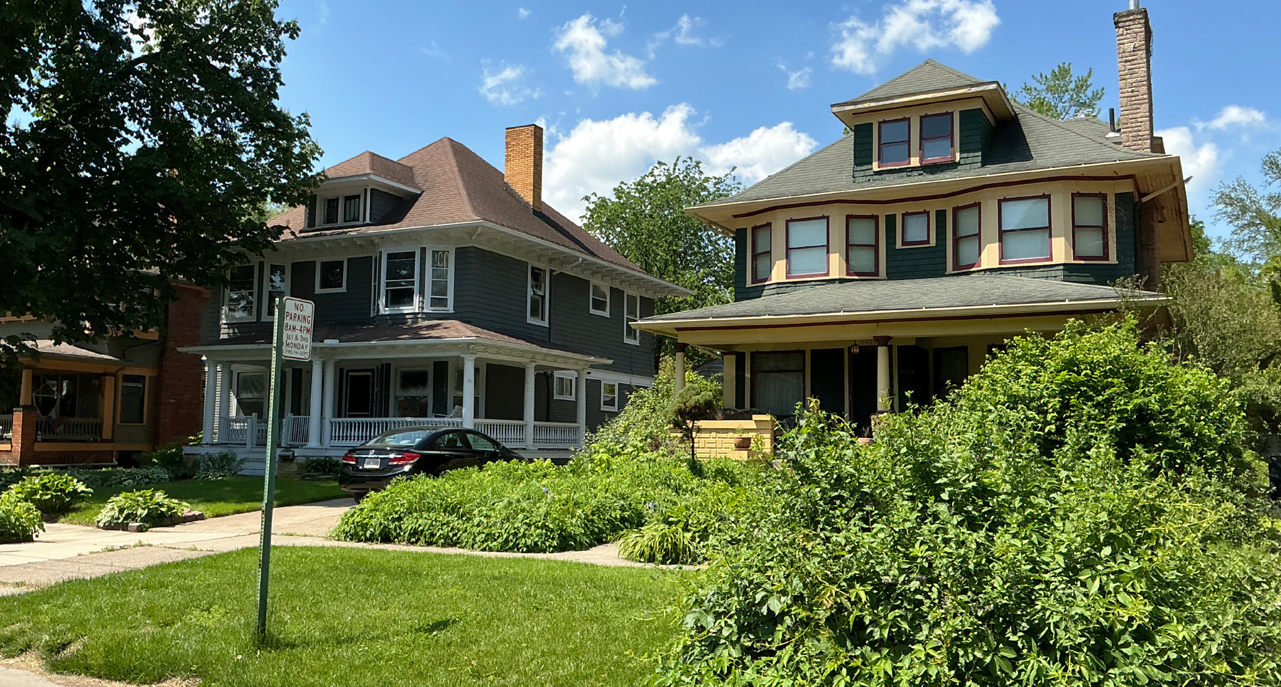
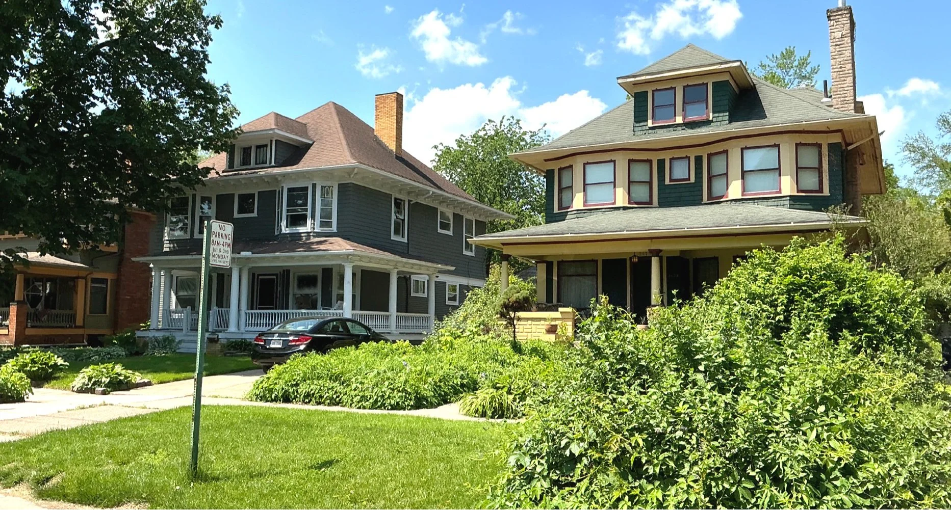
These guidelines were developed to provide a more comprehensive and localized set of standards for the Old West End Historic District (OWE). While still based on the national Secretary of the Interior’s Standards for Rehabilitation, they incorporate specific guidance relevant to the unique characteristics of the OWE.
HOW
The process involved several steps: a kick-off tour and photography of the district for information gathering; bi-weekly coordination with City of Toledo staff and the Historic District Commission; conducting one-on-one discussions with diverse community stakeholders, including property owners, residents, the Lucas County Land Bank, and commission members, to understand existing regulations and preservation issues; and holding a public open house to allow residents to review the draft guidelines and provide feedback, which was then incorporated.
WHAT
Ultimately, this comprehensive assessment empowers the community to make informed decisions about the future preservation and revitalization of this treasured historic district.
Main Street Medina Tactical Public Art Strategy
Medina, Ohio
WHY
As the southern gateway into the Uptown Historic district, the South Town district in Medina serves as an important crossroads for tourism, economic development, culture, and community pride. The South Town district's history in multiple industries-including grain, freight railways, upholstery, metal smithing, marble, and beyond-contextualizes its placemaking and public art considerations. A cohesive public art strategy has the ability to define a place's borders and invite in residents and visitors.
HOW
Designing Local created a vision for the South Town district of Medina that celebrates its industrial past through innovative public art and lively placemaking, while establishing a natural connection between Medina's Uptown Historic and South Town districts.
WHAT
In order to most effectively implement goals defined in the first phase of this strategic plan, a framework of three approaches was developed. Each dynamic approach supports the goals of public art in South Town: activating shared spaces, revealing South Town's visual identity, and reinforcing the Court Street Corridor. While the recommended interventions are all achievable as stand-alone projects, their implementation will be more successful when aligned with this Plan's strategic approaches.
Brunswick Parks & Recreation Master Plan
Brunswick, Ohio
WHY
When the City of Brunswick, Ohio emerged from a period of financial hardship to resume investing in community amenities, fiscally conservative city leaders wanted to ensure these investments would target their constituents' highest priorities. Their goal with the city's first-ever Parks & Recreation Master Plan was to understand what community members wanted from their parks system and develop a responsible, measured approach to delivering it.
HOW
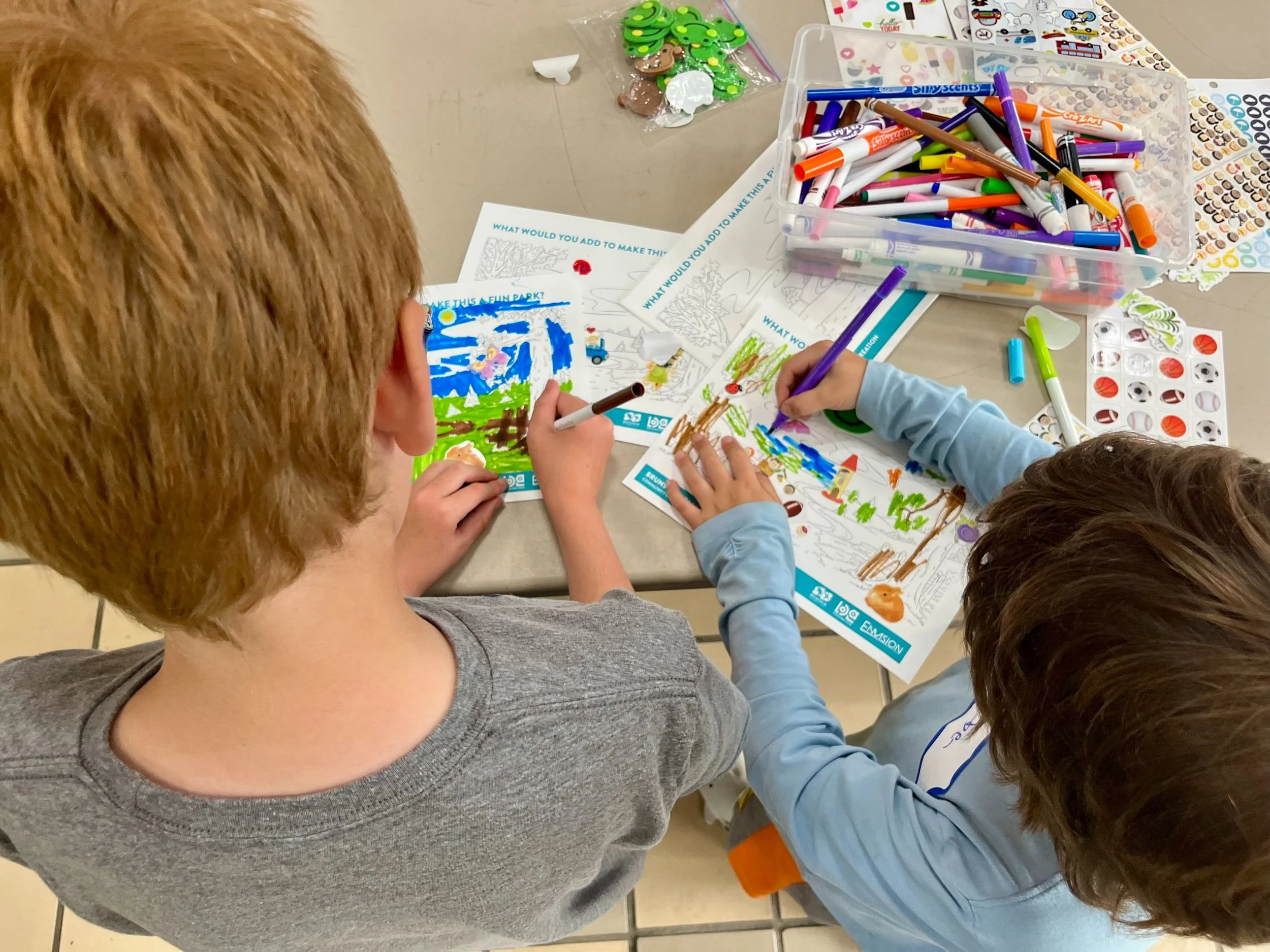
To ascertain Brunswick residents' parks-related needs and preferences, Designing Local conducted 17 stakeholder interviews, held 2 open house events, and offered an online survey to which almost 1,400 responded. Zec Eight Insights was enlisted in the planning process to conduct a benchmarking analysis that compared Brunswick's parks system with others of a similar size nationwide; Envision Group prepared a fiscal analysis and implementation plan to facilitate each recommendation.
WHAT
Brunswick's City Council discussed the plan in early 2025; at the same meeting, they recommended dedicating $1.2 million from the city budget to implement its recommendations.
Acworth Public Art Master Plan
Acworth, Georgia
WHY
Acworth is a unique destination for work, play, and everything in between. With just over 22,000 residents and its proximity to metropolitan Atlanta, it is poised for continued growth in the next decade. As Acworth looks toward its future, the City believes in public art's ability to tell the story of Acworth, enliven public spaces, and reveal what makes this City special.
HOW
From large-scale, multi-year projects that define Acworth's gateways, to temporary, yet meaningful mural opportunities in Acworth's beloved greenspaces, this plan outlines a range of strategies for high-impact public art projects in Acworth.
WHAT
In addition to strategy recommendations, this plan provides guidelines for establishing the public art program in Acworth, administrative next steps and best practices, and strategies for effectively and efficiently implementing public art projects in Acworth.
Amherst Historic District Design Guidelines
Amherst, New Hampshire
WHY
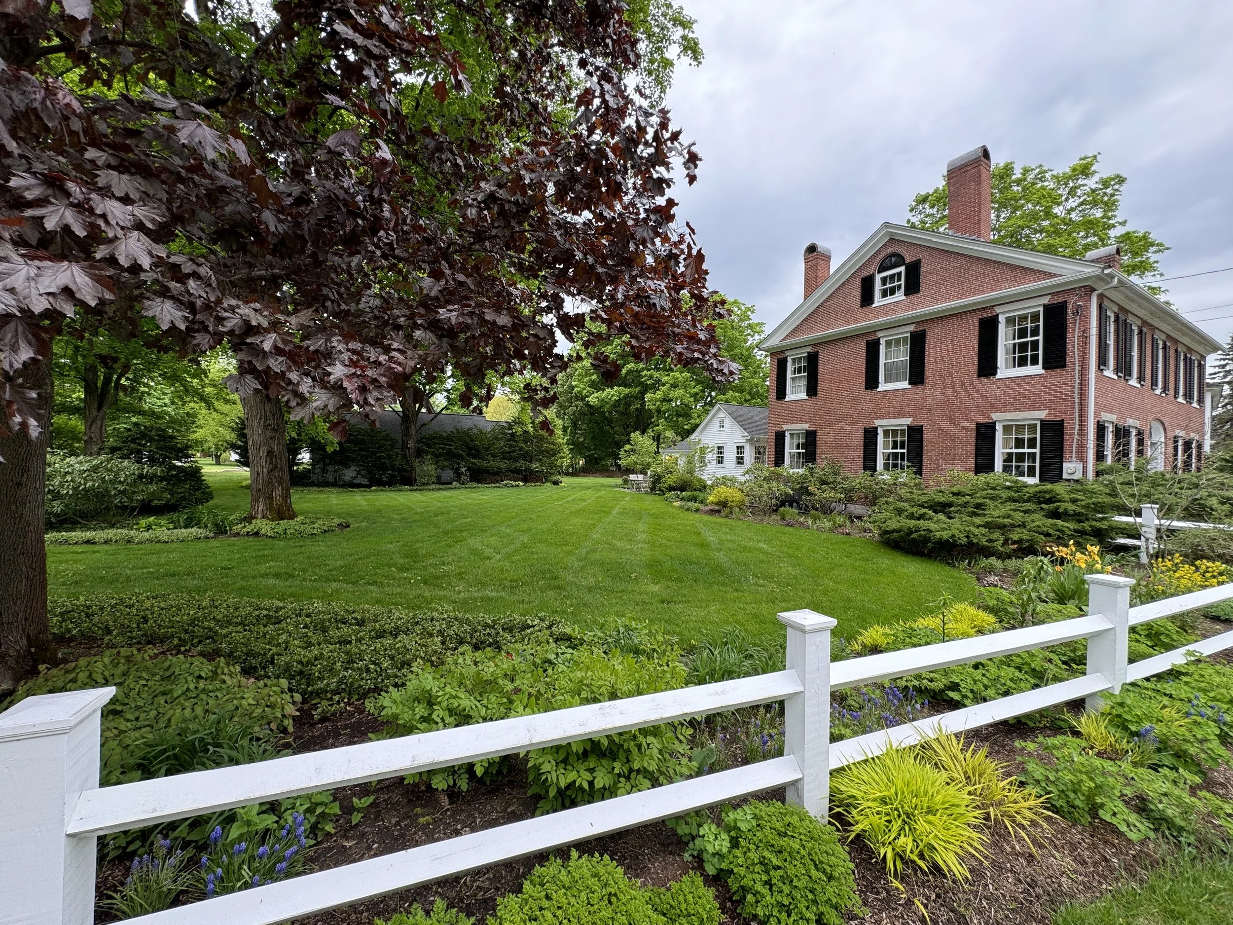
These guidelines were created to provide clear direction for exterior work on historic buildings within the Amherst Village Historic District. The primary goal was to transition the existing, mostly textual guidelines into a visual document as well as to ensure that the guidelines were more easily digestible for everyday homeowners.
HOW
This project was a collaborative effort, supported by the Town of Amherst and the Amherst Village Historic District Commission, with partial funding from a Certified Local Government (CLG) grant.
WHAT
The final result was a comprehensive, practical resource that uses easy-to-read graphics and illustrations to describe historical context, prominent architectural styles, and specific instructions for various building elements. This ensures all new work is sensitive to the village's historic fabric, preserving its unique character and appearance.
Racine Riverfront Revitalization
Racine, Ohio
WHY
The Village of Racine seeks to revitalize their downtown area with riverfront access, improved walkability, and outdoor community gathering places. Racine leadership has sought for many years to increase access to their riverfront, but been stymied by regulations that restrict building along the Ohio River, and the expense of accommodating them.
HOW
The focus of this project is to create riverfront access at Star Mill Park that includes walking paths (connecting the riverfront park to the Cross Building a short distance away), a community amphitheater, a recreational boat dock and kayak launch. It further includes streetscape improvements along 3rd and Pearl Streets to facilitate the creation of an outdoor business district, the focal point of which will be a pavilion for farmer’s markets and musical performances, among other community events.
WHAT
This project will provide Racine citizens with opportunities for outdoor wellness activities, including walking and a farmer’s market, that promote active lifestyles and social interaction. The project is currently in design.
Marsh Park Master Plan
Fairfield, Ohio
WHY
Fairfield, Ohio first leased a portion of the Martin Marietta/Dravo Quarry for the Thomas O. Marsh Park property in 1978; since then, the park has grown to be 146 acres, including a 60-acre lake. Marsh Park serves as a crucial recreational area for the community, offering both passive natural elements and outdoor activities. In 2016, the City completed its first Master Plan for the site, which laid the foundation for future development and improvements. Fairfield’s City Council has continued to prioritize Marsh Park as a significant asset for the city, highlighting the property’s intrinsic value, natural beauty, and potential for development.
HOW
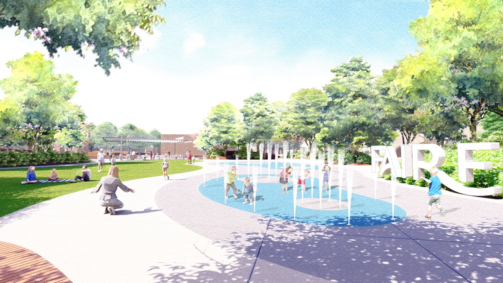
Designing Local offered planning solutions and visualizations, grounded in community feedback and technical analysis, that cast a compelling vision for what this park could become — a regional trail hub with expanded uses and access for both community members and trail travelers.
WHAT
In early 2025, Designing Local finalized an updated Marsh Park Master Plan that will further enhance the park’s natural environment, promote connections between the park and its users, foster community through events and programming, and provide access to amenities that encourage recreation.
Fairfield Town Center Placemaking Strategy
Fairfield, Ohio
WHY
The Fairfield Placemaking Strategy tackles the revitalization of the Fairfield Town Center. The Fairfield Placemaking Strategy was developed through a collaborative process involving community members, business owners, and local officials. The team conducted extensive research, including surveys, interviews, and site visits, to identify the unique assets and challenges of the Town Center.
HOW
Through the planning process Designing Local developed recommendations that focus on incorporating placemaking principles to cultivate a welcoming and lively atmosphere. This includes improvements to signage, pedestrian accessibility, and public spaces, along with considerations for infill development that aligns with the town’s brand identity.
WHAT
By implementing these suggestions, the Fairfield Town Center aspires to become a central point for commerce and a gathering place for residents of all ages and backgrounds. The plan was completed in April 2024. This project demonstrates Designing Local’s ability to provide a guide for transforming the area into the vibrant hub of the community.
Rickenbacker Woods Park
Columbus, Ohio
WHY
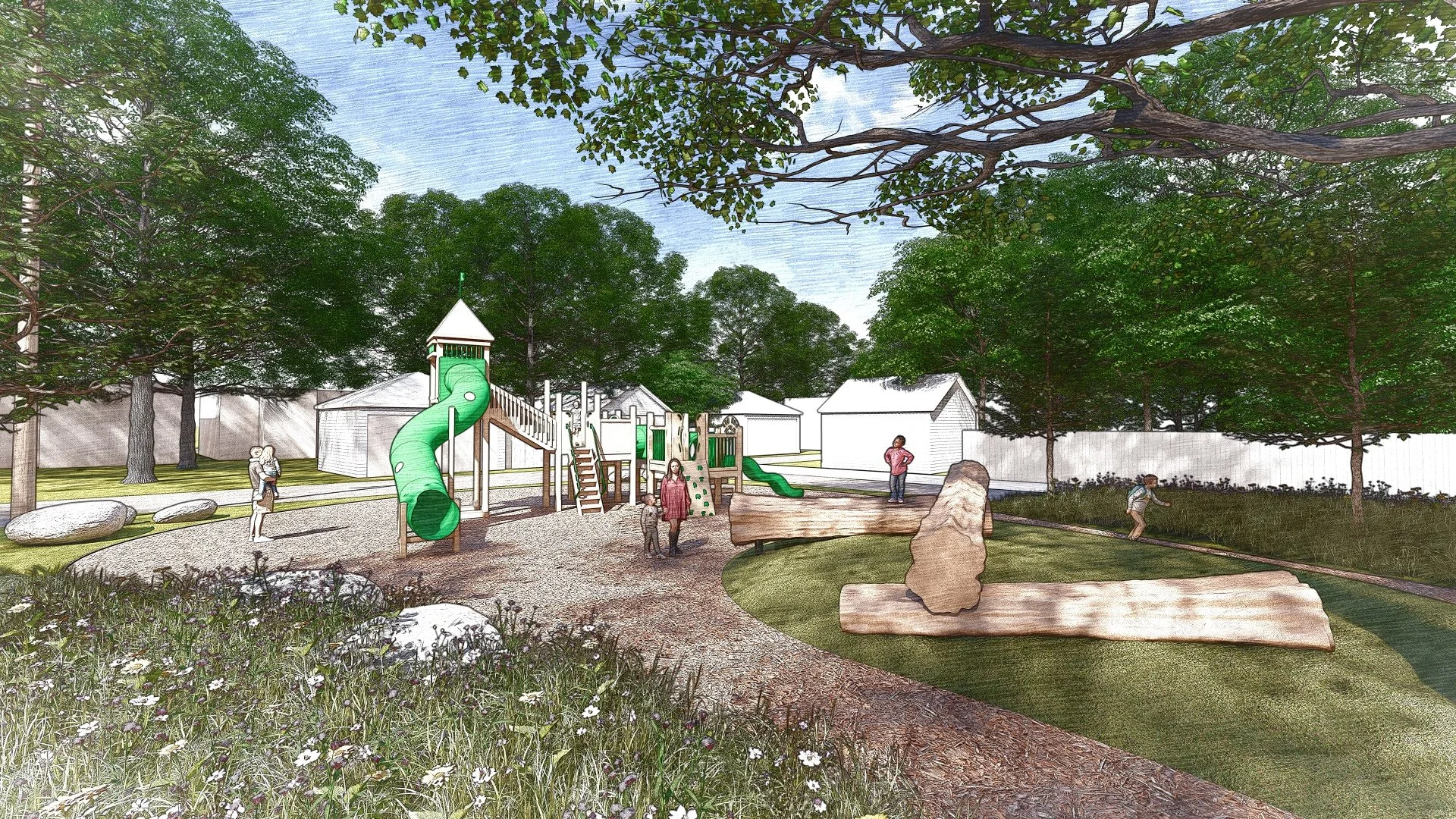
This project will create site development elements for the Rickenbacker Woods Foundation including various interpretive features and site infrastructure to support events, visitation, and other activities. The ‘Captain Edward V. Rickenbacker House’ is a National Historic Landmark, one of only three in Franklin County (Ohio Statehouse & Ohio Theatre). The site also honors Granville T. Woods, a world renowned African American scientist and inventor. He invented several items which allowed for safer electric railways and other public uses of electrical power. He is a member of the National Inventors Hall of fame.
HOW
The Rickenbacker Woods Foundation strives to ignite the spirit of innovation and perseverance embodied through the lives and legacies of Capt. Eddie Rickenbacker and Granville T. Woods. This new park project will transform an existing site to provide youth access to pathways, play area, interpretive features, landscaping and site elements.
WHAT
The project is currently in design.
Somerset Historic District Building Assessment
Somerset, Ohio
WHY
As a cornerstone of the community, Somerset’s historic district holds immense cultural and aesthetic value. The assessment report offers a captivating journey through time, revealing the stories embedded within its structures and will be a crucial step to preserve the unique character and rich history of Somerset.
HOW
By meticulously documenting the district’s buildings, the Designing Local team worked to develop a comprehensive review of the architectural gems nestled within this 170-acre area. From identifying significant architectural features to assessing the condition of each building, the report provides a detailed snapshot of the district’s current state. By uncovering the historical context of these structures, the report contributes to a deeper understanding and appreciation of Somerset’s past.
WHAT
Ultimately, this comprehensive assessment empowers the community to make informed decisions about the future preservation and revitalization of this treasured historic district.
